
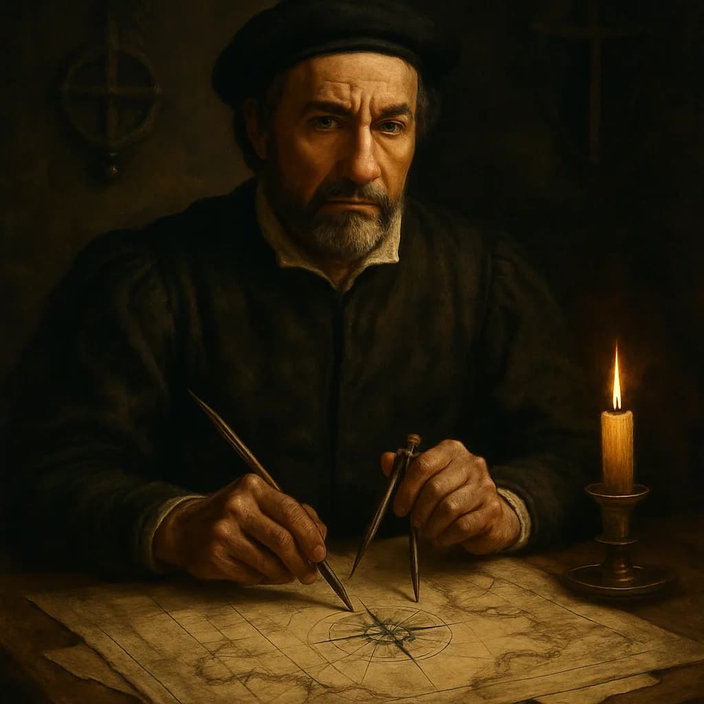
Pedro Reinel
The man who drew the most accurate maps in history accidentally destroyed his own country's empire.
Pedro Reinel spent his life obsessing over details that seemed insignificant to everyone else. While other cartographers of the early 1500s filled their maps with decorative sea monsters and biblical inscriptions, Reinel measured coastlines down to the nautical mile. His hands were permanently stained with ink from compass roses so precise that rival mapmakers accused him of witchcraft.
Born into Portugal's golden age of exploration, Reinel learned cartography from his father, also named Pedro, creating a dynasty of mapmakers who served the Portuguese crown. But where his father drew functional charts for navigators, the younger Reinel became consumed with mathematical perfection. He pioneered the use of magnetic declination—accounting for the difference between magnetic north and true north—making his maps deadly accurate but also deadly expensive to produce.
The irony was exquisite. Portugal's dominance of global trade routes depended on keeping geographic information secret, but Reinel's obsession with precision meant his workshops produced maps too detailed to keep hidden. His 1519 chart of the South Atlantic was so accurate that Spanish spies paid fortunes for copies, eventually allowing Spain to navigate Portuguese trade routes with unprecedented precision. The very maps that should have secured Portugal's empire became the tools of its destruction.
Reinel died around 1542, likely unaware that his masterwork—a collection of charts covering Africa, Brazil, and the Indian Ocean—had fundamentally shifted the balance of European power. His mathematical precision had made him the finest cartographer of his age and, unwittingly, Portugal's most effective saboteur.
Reinel's maps were so accurate that they remained the standard reference for African coastlines until the 18th century, over 200 years after his death.
Why untold: His technical innovations in mapmaking are overshadowed by the explorers who used his charts, while his role in Portugal's decline was too gradual to be noticed by contemporary historians.
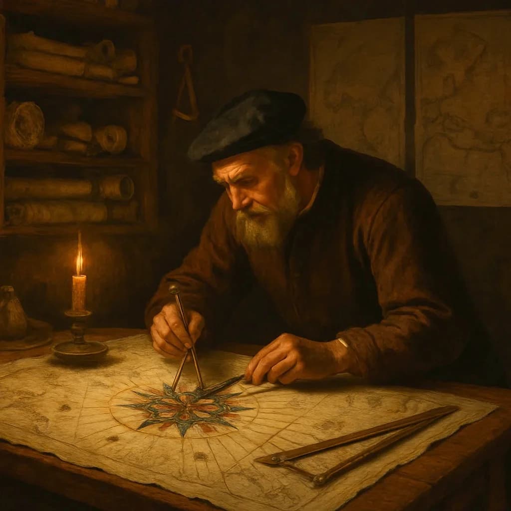
Three Degrees: How a Map Error Cost Portugal Its Crown
A single miscalculation on a medieval map transformed Portugal from Europe's maritime powerhouse into Spain's dependent province.
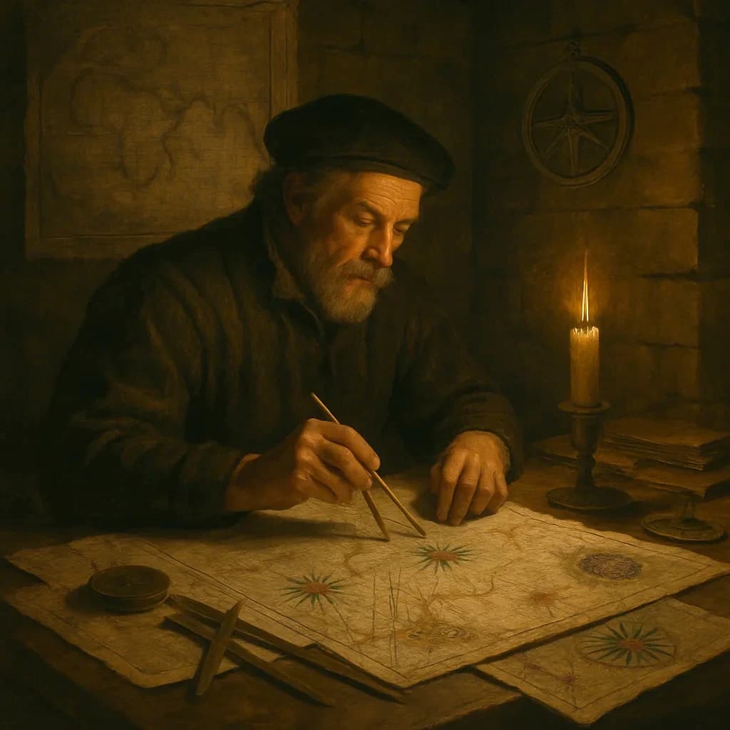
He Mapped India So Well It Bankrupted Venice
One Portuguese mapmaker's obsession with precision quietly destroyed the most profitable trade route in human history.
— Cortesão, Armando. History of Portuguese Cartography. Coimbra: Junta de Investigações do Ultramar, 1969.
— Ptak, John F. 'Pedro Reinel and Early Portuguese Cartography.' Journal of Navigation History, vol. 45, 1992.
— Albuquerque, Luís de. Portuguese Navigation: Its Historical Development. Lisbon: Instituto Camões, 1988.