
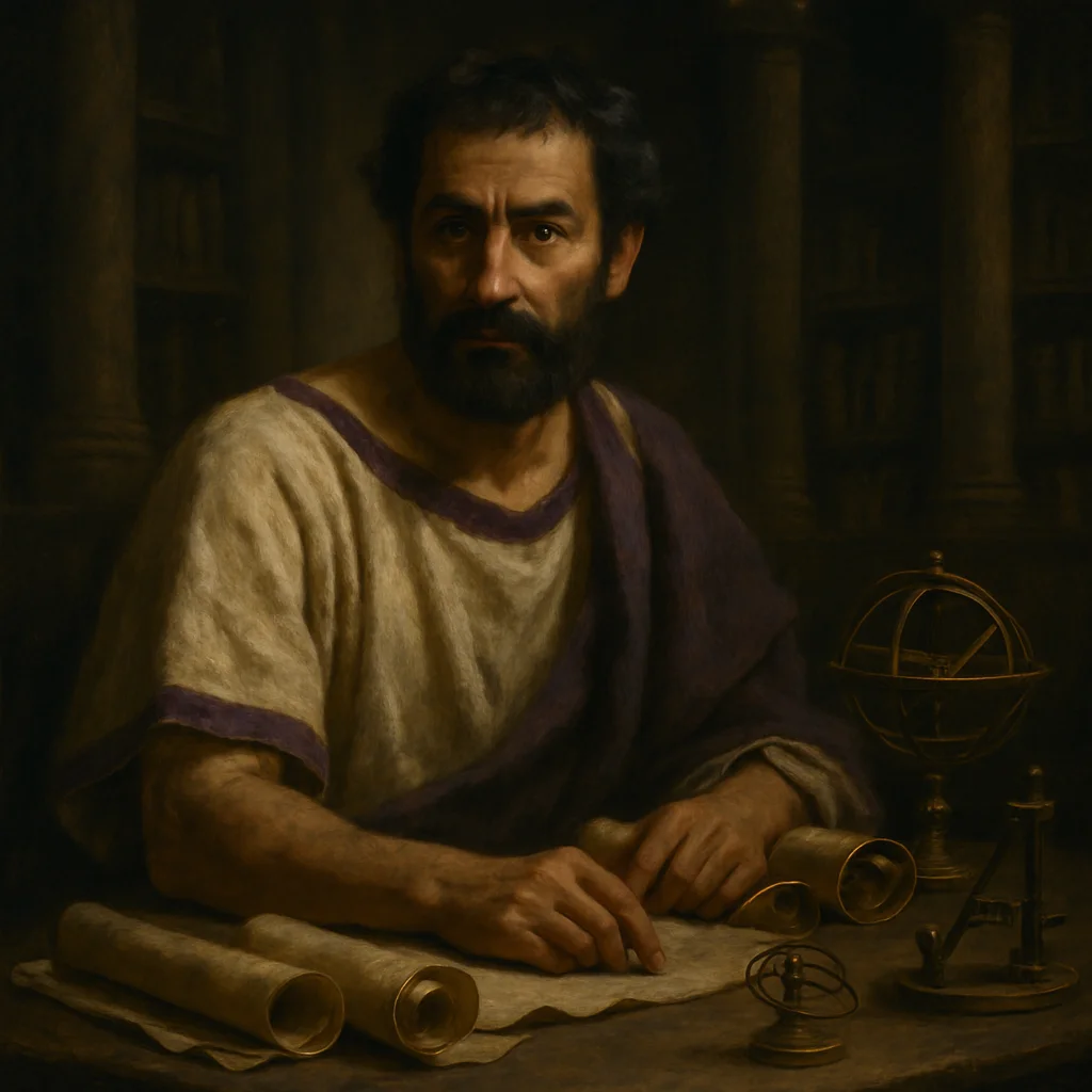
Claudius Ptolemy
The man who convinced the world for 1,400 years that the Earth was smaller than it actually is never left Alexandria.
Claudius Ptolemy spent his entire career in Alexandria's Great Library, yet his geographical miscalculations would reshape the world map for over a millennium. Working around 150 CE, this Greek-Egyptian scholar inherited Eratosthenes' remarkably accurate measurement of Earth's circumference — then promptly decided it was wrong.
Ptolemy trusted the calculations of Posidonius instead, who had drastically underestimated the planet's size. This wasn't mere academic preference. Ptolemy was attempting something unprecedented: creating the first systematic world atlas using mathematical coordinates. He needed to fill his maps with something, and a smaller Earth meant the known world occupied a larger portion of the globe. The vast empty spaces became more manageable.
But Ptolemy's masterwork, the *Geographia*, contained a more fateful error. He stretched Asia eastward far beyond its actual extent, convinced that the Indian Ocean was an enclosed sea and that a massive southern continent must exist to balance the northern landmasses. When medieval scholars rediscovered his work in the 15th century, they saw a world where sailing west from Europe to Asia looked feasible — a journey of perhaps 3,000 miles rather than the actual 12,000.
Columbus owned a copy of Ptolemy's maps. So did every navigator attempting to reach the Indies by sailing west. They were chasing a geographical phantom created by a man who never sailed beyond Alexandria's harbor, whose entire understanding of the world came from questioning traders and reading travel accounts in the library where he worked. Ptolemy's sedentary scholarship would launch the Age of Exploration.
Ptolemy's maps included latitude and longitude coordinates for over 8,000 locations, making him the inventor of the modern coordinate system — yet many of his locations were off by hundreds of miles.
Why untold: His reputation as the greatest ancient astronomer overshadowed his role as the geographer whose errors made Columbus possible.
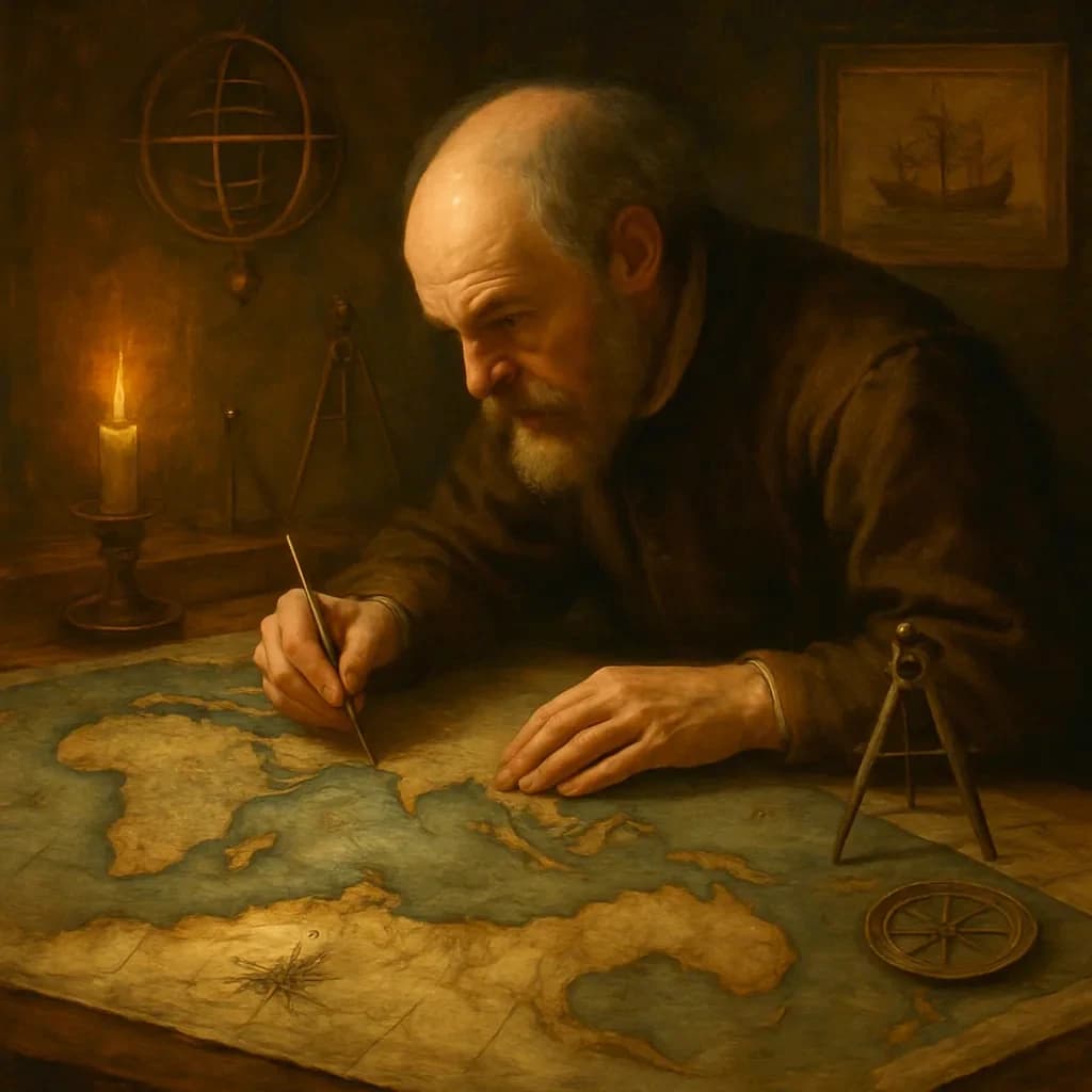
Terra Australis: Two Centuries of an Invented Continent
For nearly two centuries, every map of the Pacific showed a massive continent that didn't exist—because one cartographer was too proud to admit he'd made a mistake.
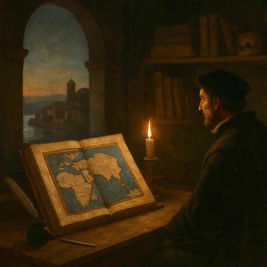
Ptolemy Shrank the World, and Columbus Believed Him
A Greek scholar's copy error in 150 CE convinced Europeans that Asia was close enough to sail to—it wasn't.
— Berggren, J.L. & Jones, Alexander. *Ptolemy's Geography: An Annotated Translation*. Princeton University Press, 2000.
— Dilke, O.A.W. *Greek and Roman Maps*. Thames & Hudson, 1985.
— Sobel, Dava. *Longitude: The True Story of a Lone Genius Who Solved the Greatest Scientific Problem of His Time*. Walker Books, 2007.